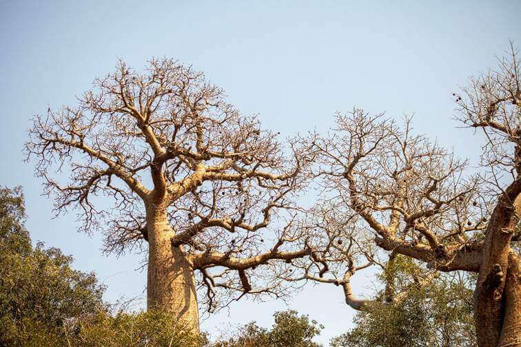
Baobabs are present throughout the Menabe Antimena Protected Area, but their distribution varies significantly from one sector to another. An inventory conducted in 2025 and 2026 highlights these differences and provides valuable benchmarks to guide conservation actions.
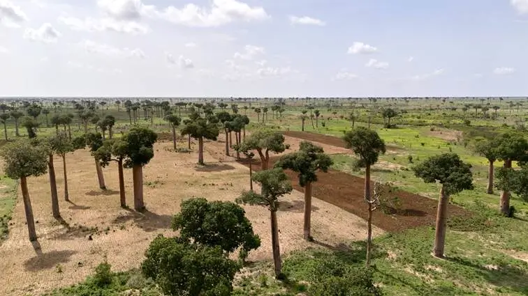
We often imagine baobabs as an unchanging presence, scattered across the landscapes of Menabe. Yet, you only need to travel a few kilometers to see the scenery change. In some sectors, the silhouettes of baobabs punctuate almost every hectare. In others, they are much scarcer.
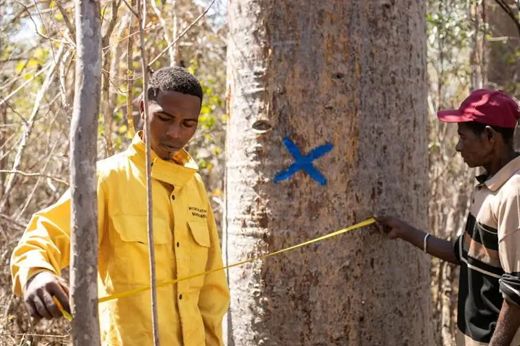
To better understand this distribution, ecological monitoring teams conducted an inventory across several sites within the Menabe Antimena Protected Area. Observations were carried out on standardized 14-hectare plots in order to compare tree populations from one area to another.
Summary of Results Obtained
Ampataka immediately captures attention. Teams recorded 234 baobabs there, representing a density of 16.7 trees per hectare—the highest in the inventory.
Further south, Andranomena, CNFEREF, and Ambadira also exhibit well-established populations, with densities ranging between 6.1 and 6.9 trees per hectare.
In contrast, Marofandilia, Tanandava, and Ankoraobato have far fewer baobabs, ranging between 2.5 and 4.1 trees per hectare. This disparity is pronounced enough to raise a question: why such a difference when all these areas belong to the same protected area?
Ecological monitoring alone cannot provide a definitive answer. However, it highlights trends that align with the analyses of the Menabe Antimena Management and Development Plan.
A Forest Facing Uneven Pressures
Not all parts of the protected area face the same pressures.
In Menabe Antimena, the primary identified threats are wildfires, land clearing, and selective logging. Together, the first two account for more than half of the pressures exerted on the ecosystems. Habitat fragmentation, illegal settlements, and the impacts of climate change compound these challenges.
These pressures do not just affect the landscape. They gradually alter the conditions under which species live, reproduce, and survive. When the forest is fragmented, baobabs become more isolated, young trees find it harder to secure favorable conditions to grow, and the entire ecosystem loses its continuity. This is precisely one of the hypotheses put forward to explain the low densities observed in certain sectors of the inventory.
Conversely, Ampataka and Andranomena have better preserved their tree populations. This is partly explained by their status as classified forests and more consistent surveillance. Located close to the main access routes of the protected area, these zones are patrolled more regularly by field teams, which facilitates interventions and helps curb certain pressures.
Results That Guide Decisions
For protected area managers, these differences are far from anecdotal. The inventory also serves to establish priorities.
Where baobabs remain abundant, such as in Ampataka, the main challenge is to preserve this balance. This requires regular community surveillance, fire prevention, combating land clearing, and maintaining a sufficiently intact forest so that these populations can continue to thrive.
In sectors like Marofandilia or Ankoraobato, the situation is different. The lower densities call for a reinforcement of the restoration actions already outlined in the Management and Development Plan. Reforestation, supporting forest regeneration where possible, and reducing habitat pressures are all actions that can, in the long run, foster the return of more favorable conditions for baobabs.
Observing Today to Better Protect Tomorrow
An inventory is often perceived as a simple snapshot of the current state of affairs. In reality, its primary purpose is to prepare for the future.
By repeating the same observations over the years, it becomes possible to measure the impact of restoration actions, identify sectors that are degrading faster than expected, or, conversely, spot areas where the forest is gradually recovering its balance.
Baobabs are one of the most famous symbols of the Menabe region. They also serve as indicators of the health of these dry forests, which are among the richest yet most threatened ecosystems in Madagascar. Monitoring them regularly allows us to move beyond simple appreciation of the landscape, providing concrete data to make the right decisions, in the right place, and at the right time.